

Acreage for Sale in Springfield, OR: What You Need to Know in 2026
Acreage for Sale in Springfield, OR: What You Need to Know in 2026
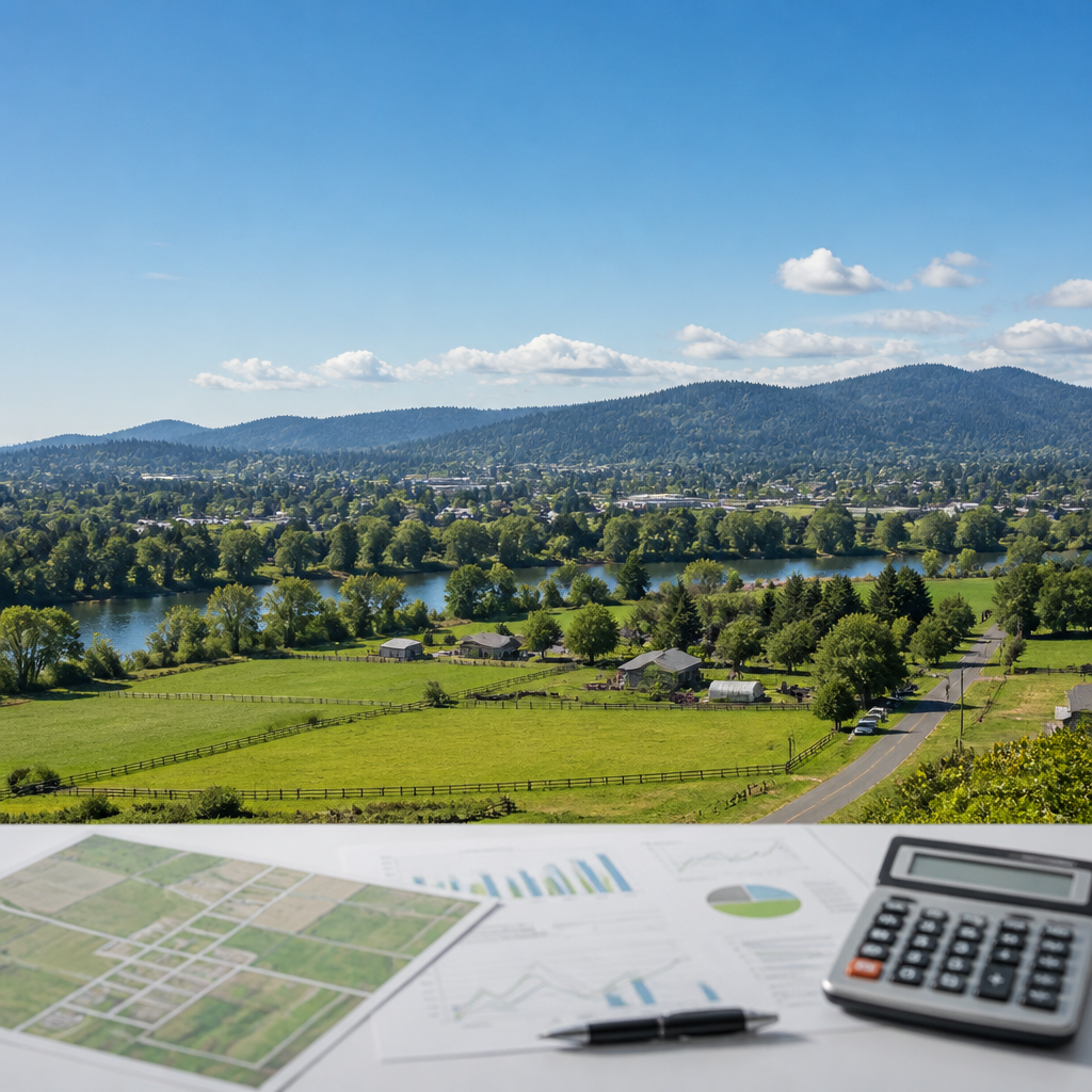
Acreage for sale in Springfield OR draws increasing attention as buyers seek space for homes, small farms, and investment projects. According to Walk Score, Springfield holds a walk score around 36, reflecting a blend of suburban streets and rural edges where larger tracts remain available. That mix creates opportunities along roads such as Jasper Road, Camp Creek Road, and Marcola Road, where parcels from 1 to 40 acres offer flexibility for residential, agricultural, and limited commercial uses in 2026.
Which parts of Springfield, OR offer the most promising acreage opportunities?
Acreage for sale in Springfield OR clusters along the eastern and southern edges near Thurston, Jasper Road, and Bob Straub Parkway. Parcels near Thurston High School and Thurston Middle School often combine residential convenience with enough land for barns, shops, or orchards. Further north, land along Marcola Road and Camp Creek Road provides access to the Mohawk Valley while remaining within roughly 10 to 15 minutes of downtown Springfield on Main Street. This balance of access and privacy shapes much of the current demand pattern.
According to market snapshots from Redfin, Springfield’s overall median sale price as of late 2025 sits in a range between $380,000 and $420,000, with acreage listings often commanding premiums. Larger tracts near the McKenzie River corridor, close to Hayden Bridge Road and Marcola Road, frequently list between about $250,000 for modest improved sites and more than $900,000 for extensive, river-adjacent holdings with existing homes or equestrian facilities.
South of town, acreage along Jasper Road and Pengra Road connects quickly to Jasper State Recreation Site and the Middle Fork Path along the Willamette River. Properties in this corridor enable relatively short drives to Island Park, Dorris Ranch, and commercial services at the Gateway Mall area while still feeling distinctly rural. That combination of scenic views, river access, and nearby amenities positions these pockets as key zones for long-term land value resilience.
How do Springfield zoning and land-use rules affect buildability on acreage?
Understanding zoning is crucial before committing to acreage for sale in Springfield OR. The City of Springfield Development Code, summarized by the City of Springfield, separates Urban Holding, Low Density Residential, and agricultural or forest designations across city and urban growth boundary areas. Many parcels near 42nd Street, 52nd Street, and Bob Straub Parkway sit in transition zones where future annexation and infrastructure upgrades may gradually increase allowable density, driveway standards, and utility connection requirements over the next decade.
According to the Springfield Planning Division, large-lot residential districts typically permit single-family homes and accessory structures, with minimum lot sizes often ranging from roughly 7,000 to more than 20,000 square feet. Rural residential or agricultural tracts outside city limits along places like Camp Creek Road and Hill Road fall under Lane County’s code, where minimum lot sizes may extend to 5, 10, or even 20 acres depending on classification. Those figures strongly influence whether land division or additional dwellings are feasible.
On summer evenings near Dorris Ranch along South 2nd Street, the smell of warm dust and ripening filberts drifts across nearby acreage as sprinklers click rhythmically in the distance. Soft golden light settles on weathered barns and split-rail fences, while the low murmur of traffic from South B Street fades behind the rustle of cottonwoods along the Willamette River. This sensory mix illustrates how zoning lines on a map translate into lived landscapes shaped by orchards, trails, and long-established homesteads.
What infrastructure and utility costs should acreage buyers in Springfield anticipate?
Infrastructure often represents the largest hidden factor in evaluating acreage for sale in Springfield OR. According to Lane County’s Land Management resources, extending public water or sewer lines can cost tens of thousands of dollars, while private wells and septic systems require soil testing and state-sanctioned permits. Driveway standards along collectors such as Main Street, Jasper Road, and Marcola Road may also dictate culvert design, surfacing, and sight-distance requirements that influence total development budgets.
The Lane County Assessment and Taxation office notes that effective property tax rates typically fall in a range near 1.0% to 1.3% of assessed value, based on historical analysis by SmartAsset. For an acreage property assessed at roughly $600,000, that range implies annual taxes between about $6,000 and $7,800. Parcels with farm or forest deferrals near the Mohawk Valley or along Camp Creek Road may benefit from reduced assessments, but those programs carry usage and reporting obligations.
Utility availability varies dramatically between neighborhoods such as Thurston, Hayden Bridge, and the more rural segments beyond Jasper and Pengra Roads. Some tracts within the Willamalane Park and Recreation District boundaries, including sites near Clearwater Park and Lively Park Swim Center, already connect to city services and established roads. Others rely on gravel access, overhead power, and propane tanks, shifting more upfront cost into grading, trenching, and service installation while potentially lowering long-term monthly utility bills compared with dense urban locations.
How do schools, recreation, and amenities influence long-term acreage value?
School catchments and recreation access play a strong role in demand for acreage for sale in Springfield OR. According to GreatSchools, Springfield High School holds a rating around 4/10, while Thurston High School posts a rating near 6/10. Acreage parcels feeding into these schools, along streets such as 10th Street, 21st Street, and Thurston Road, often resonate with households seeking both space and manageable commute times to campuses and major employers.
Recreational assets amplify that appeal. Properties near Clearwater Park, the Middle Fork Path, and Willamalane’s Dorris Ranch Living History Farm offer swift access to biking, kayaking, and running along the Willamette River. North of Highway 126, land within a short drive of Island Park, the Millrace Path, and Alton Baker Park across the river in Eugene benefits from a broad regional trail network. These amenities frequently support higher resale interest, even when structures on the land remain modest or dated.
On crisp autumn mornings near Clearwater Park, mist rises off the Willamette River as geese call overhead and bicycle tires hiss along the Middle Fork Path. Fresh bark and damp leaves scent the air around nearby acreage homes, where wood smoke drifts gently from chimneys along Clearwater Lane and Cloverdale Road. The low hum of traffic on Highway 126 fades beneath birdsong and the steady rush of the river, underscoring why parcels in this pocket often command enduring emotional and market value.
What market trends will shape Springfield acreage decisions in 2026?
Regional dynamics around Eugene and Springfield continue to influence acreage for sale in Springfield OR. According to Redfin, Springfield’s housing inventory in late 2025 often hovers between 1.5 and 2.5 months of supply, signaling a lean market. Larger lots and rural residential parcels typically form a small fraction of total listings, sometimes fewer than 20 active properties at any given time, which can intensify competition for well-located acreage.
Broader affordability trends also matter. FHA financing still permits minimum down payments around 3.5%, based on program guidelines referenced by the U.S. Department of Housing and Urban Development, but many lenders apply stricter standards for large-lot or agricultural parcels. Acreage that includes income potential from crops, boarding, or short-term rentals near destinations such as Dorris Ranch and the McKenzie River Scenic Byway may offset higher financing costs over time, especially when structures and infrastructure already exist.
Commuting patterns toward PeaceHealth Sacred Heart Medical Center at RiverBend, the Gateway Mall retail cluster, and downtown Eugene’s employment core along 7th Avenue and Oak Street continue to support Springfield’s east-side locations. Acreage close to arterial routes such as Main Street, Highway 126, and Interstate 5 can offer both quiet surroundings and drive times under 25 minutes to major job centers. That combination is likely to remain a key factor in buyer preference rankings through 2026 and beyond.
The 36 walk score cited at the start of this guide reflects a community straddling suburban convenience and rural openness, where acreage remains a scarce but meaningful asset class. That same figure from the opening underscores the need to weigh car dependence, trail access, and proximity to services when comparing parcels across Springfield’s varied corridors. The Regional Multiple Listing Service (RMLS) offers the most current snapshot of active acreage listings and recent land sales around Springfield and adjacent Lane County markets. Buyers who register search alerts through this platform and commit to touring promising acreage within 48 hours of listing activation before the late-spring surge in May typically secure stronger negotiating positions and broader options. Those who delay engagement until after early summer often face thinner inventory, higher asking prices, and reduced leverage on inspection or improvement concessions.
Categories
Recent Posts